The
Hardest-Working River in the American West
One River. Two Countries. Seven States. 30 Tribes. 40 Million Lives.
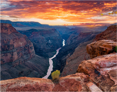
The mighty Colorado River starts as a trickle of snowmelt in Rocky Mountain National Park. As the river carves canyons and builds cities on its journey, this water brings life to the American West.
Anatomy of the River
Click The Maps Below to Explore the Colorado River Basin
Accommodation Statement: The State of Colorado is committed to providing equitable access to our services to all Coloradans. Please contact Lauren Beecher (lauren.beecher@state.co.us or 720-682-8330) for personalized accessibility assistance using the maps below. We will contact you directly within three business days. Visit our accessibility webpage(opens in new window) for more information and services, including AIRA, our free service for blind and low-vision users.
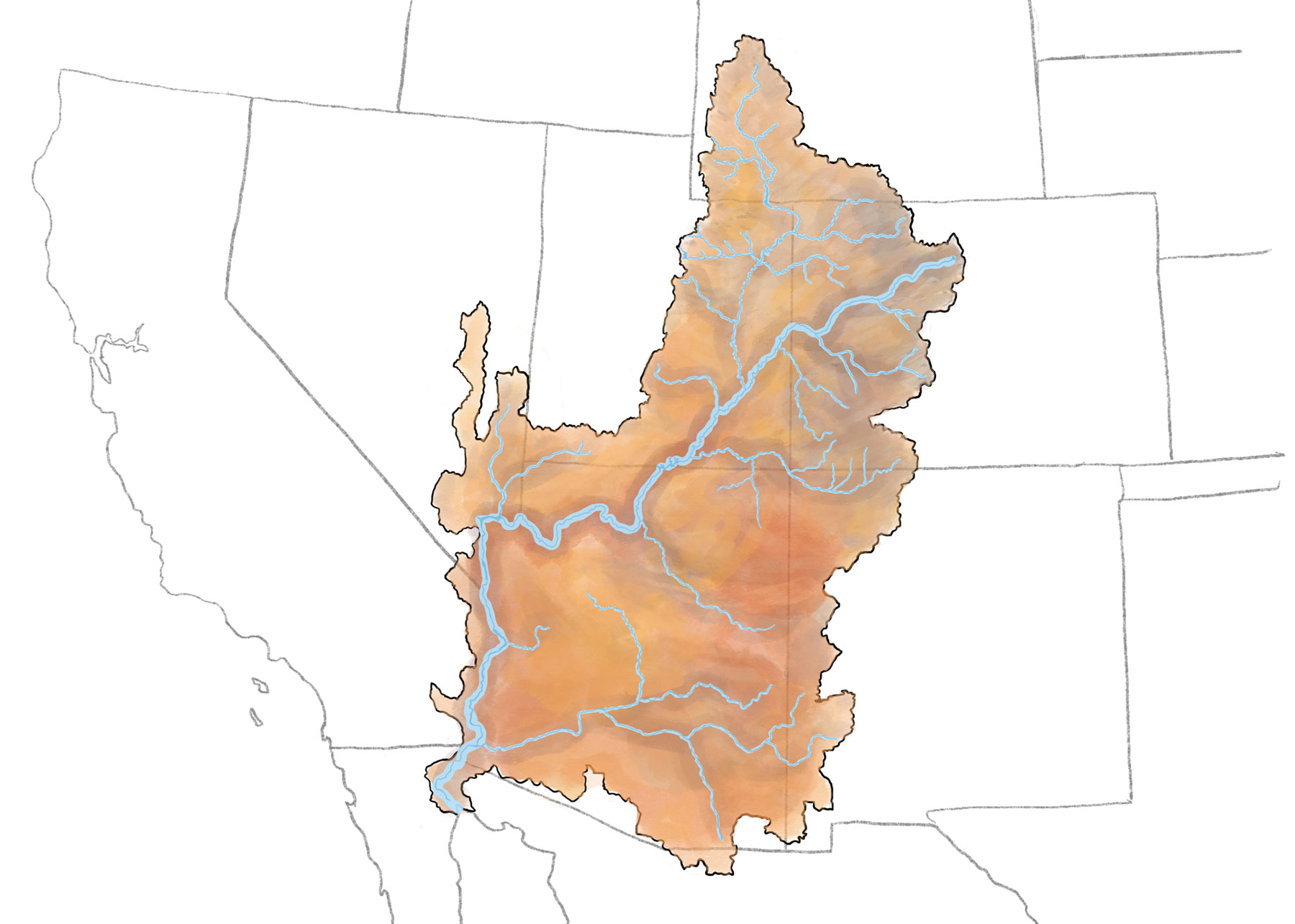
This map depicts the Colorado River Basin in a borderless state. It shows the natural flow of the river and its tributaries prior to European colonization, without numerous dams and reservoirs. Abstract depictions of Indigenous communities are included to represent the numerous Tribal territories and nations that have existed within the Colorado River Basin since time immemorial. These depictions are not meant to represent specific Tribal Nations, communities, people or locations.
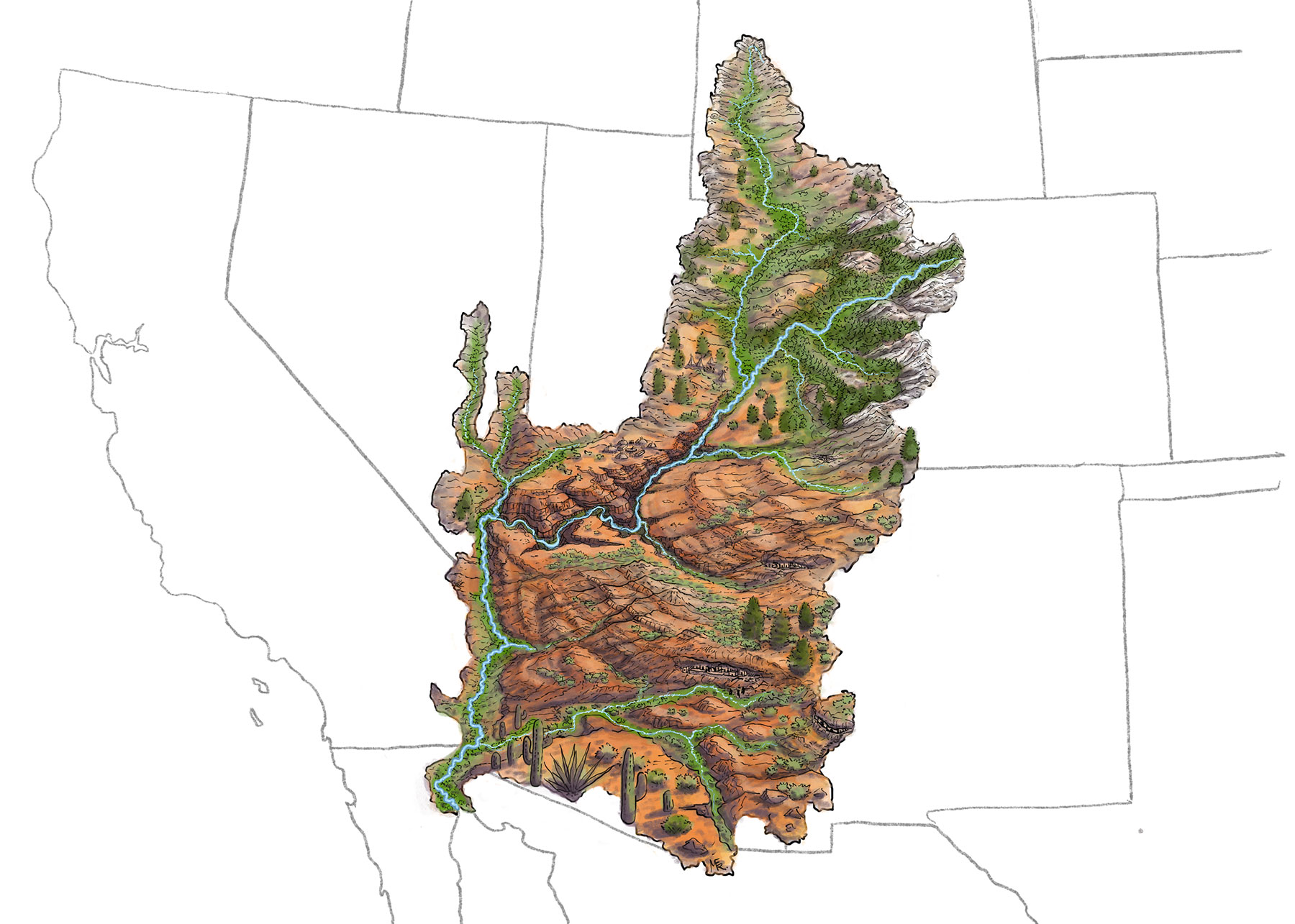
This map highlights the main stem of the Colorado River, in light blue, and its numerous tributaries. Tributaries are smaller rivers and streams that eventually flow into and feed the Colorado River.
This map developed by the U.S. Bureau of Reclamation, shows the 30 federally recognized Tribal Nations located within the Colorado River Basin.
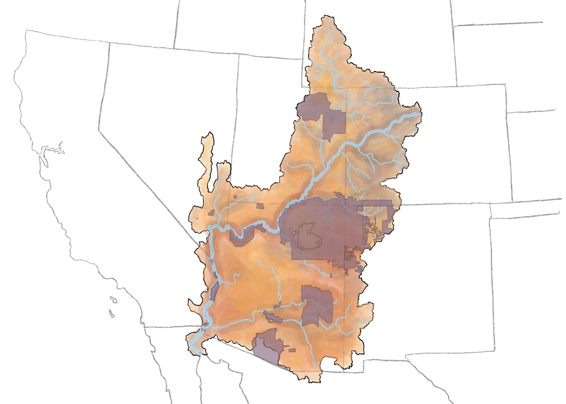
The areas in green show areas of farmland that use Colorado River water for irrigation.

This map shows a non-exhaustive list of cities that use Colorado River water both within and outside of the Colorado River Basin.

Each red dot represents a larger dam and/or reservoir in the Colorado River Basin. The red arrows show examples of where water is moved around and outside of the basin. This map is not exhaustive and does not include some smaller dams and diversions.
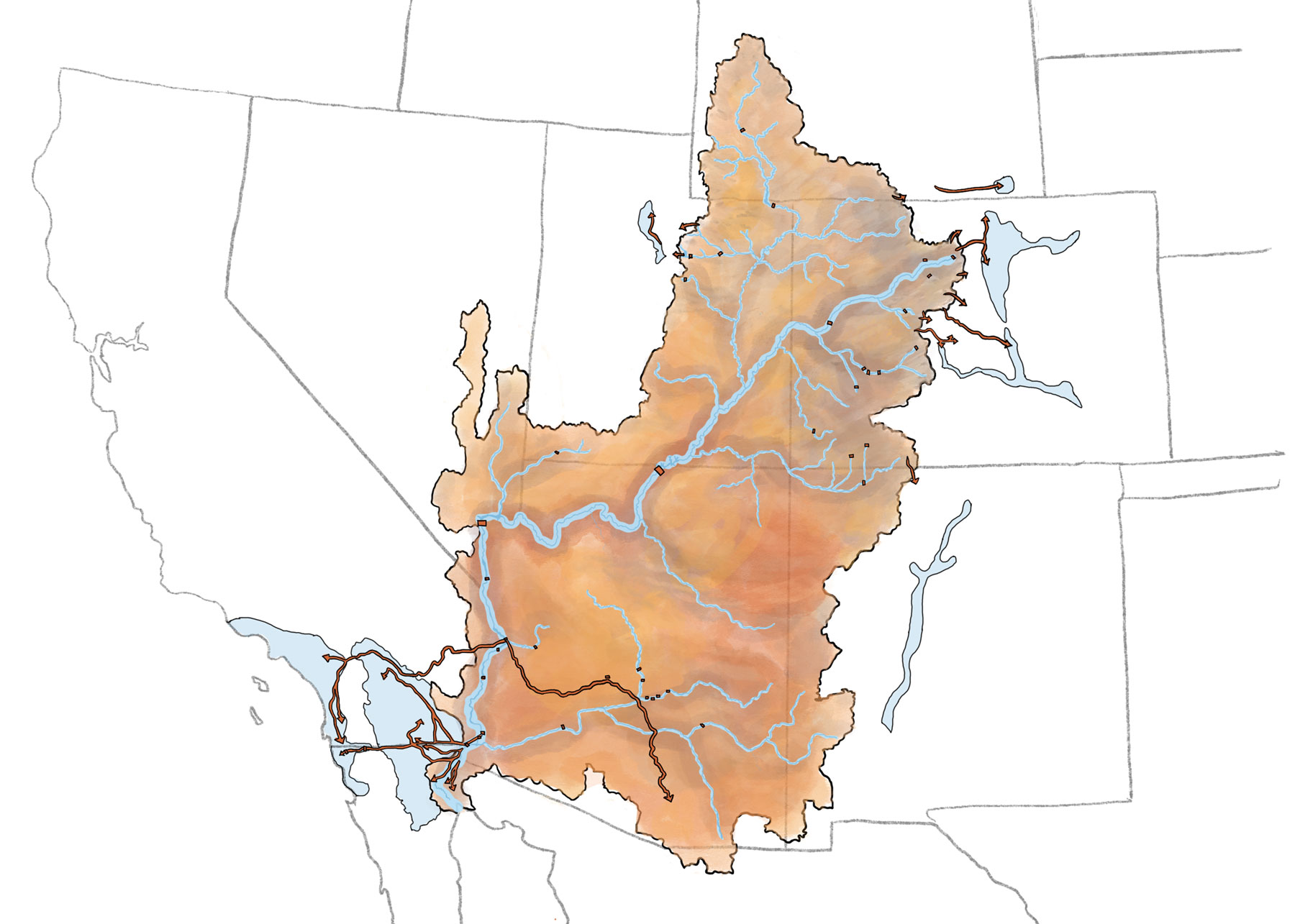
This map highlights projects designed to move Colorado River water beyond the watershed’s boundaries.

The areas highlighted here are called “Active Management Areas” in Arizona, which means they require active management of groundwater.

The areas in green show where land has been put under conservation protection.

The Colorado River Basin occupies an area of approximately 260,000 square miles in the American west, originating in Rocky Mountain National Park and ending in the Gulf of California. The Colorado River is a critical resource in the West: seven basin states and 30 Tribal Nations depend on it for water supply, hydropower production, recreation, fish and wildlife habitat. Much of the river is used for agricultural purposes, and it is also a municipal supply for 40 million people.
Post-2026
Negotiations
Negotiations are underway to establish new operating guidelines for the Colorado River. The current operating guidelines, called the ‘07 Operating Guidelines, expire in 2026. These negotiations will determine how much water leaves Lake Powell and Lake Mead – the country’s two largest reservoirs – and will determine ways to address the imbalance between supply and demand.


A
Sustainable
River
For decades, management of the Colorado River has largely operated on a demand-based system. In other words, the system has been managed to maximize water use. This demand-driven model faces critical limitations in the face of a changing climate: we cannot use more water than the Colorado River provides.
What is
Snowpack
& Why is it Important?
80% of the water that flows through the Colorado River comes from snow that falls and melts in the Rocky Mountains. Check up on the snowpack and the projections of how much water that might mean for our reservoirs.